By Emma Cheriegate, Staff Researcher & Writer at Save the Water™ | August 30th, 2021
For the everyday person, the number and complexity of steps required to maintain safe drinking water are hard to visualize. The process includes keeping records of the data, analyzing abundance, and assessing quality. Fortunately, there is a tool that makes doing so significantly easier: geographic information systems (GIS). So what is GIS, and how is it helping us secure the most vital fluid on Earth?
Geographic Information Systems
GIS can be a hard concept to understand because of its vast breadth. GIS is a system that allows humans to store, review, and utilize geographic data. Commonly understood through its mapping functions, this computer-based tool helps us visualize spatial data. ArcGIS by Esri and QGIS are the two main geospatial data tools used today.
While quite similar, ArcGIS and QGIS have some differences. The biggest distinction for new GIS users tends to be the cost. QGIS is free, “open-source” software, while ArcGIS has a price requirement to use. The most important differences between these two software depend on the subject of work. Comparing and contrasting the features and functions of ArcGIS and QGIS can help individuals and groups determine which option is best for them.
The two-decade GIS boom of 1960-1980 brought the framework on the map, and its popularity has been growing ever since. Currently, there is an entire field of study dedicated to it: Geographic Information Science, or GIScience. GIS is useful in countless areas of human life, and water is a profoundly relevant one.
Data Storage
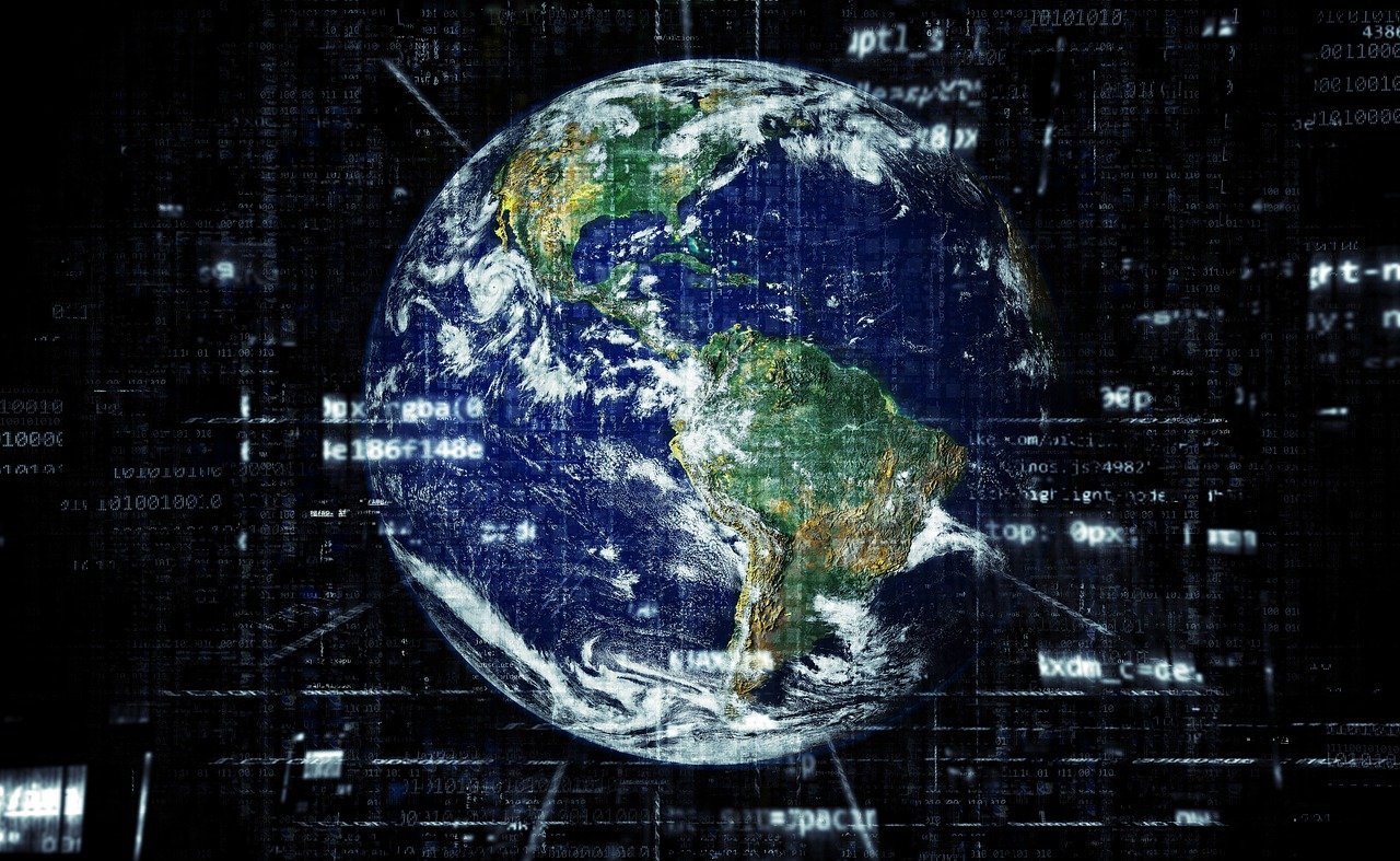
Perhaps the most foundational aspect of GIS use is data storage. The geospatial satellites orbit our planet’s atmosphere and collect water-related data. The satellites then store that data on servers with geographic information systems. Additionally, the satellites help distribute the information on the servers to various bases throughout the world. GIS is continuously increasing in popularity, gaining status in academia, government, and various professional settings. As a result, the quality of water-related research and awareness across countries improves right along with it.
Water Loss and Hydraulic Modeling
GIS helps identify water loss for water utility companies. To prevent this, GIS works in tandem with leak detection equipment like meter and valve systems. The data logged on a complex mapping system allows workers to track the flow of water and where ruptures may have occurred. With this system, water loss is reduced, and investments are made secure.
Additionally, GIS is a great tool for hydraulic modeling. With it, wastewater and stormwater networks can be mapped. GIS uses mathematical models to design and regulate the flow, quality, and pressure of the networks. The collective monetary savings from GIS usage in water utility companies are estimated to be $32 million.
Water Quality
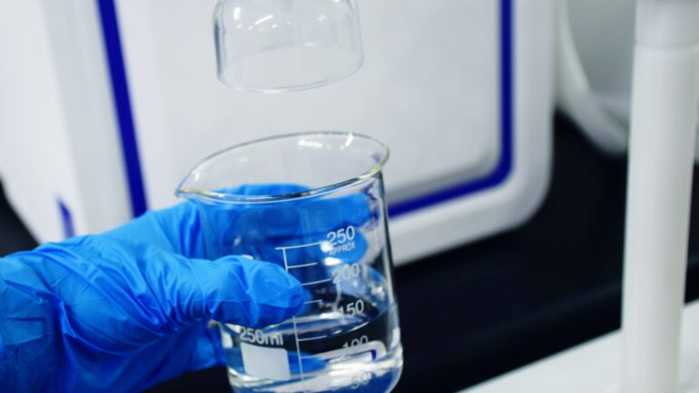
Because of increased pollution in the world’s water resources, it is necessary to consistently monitor water quality in order to prevent a future catastrophe that would adversely affect the safety and quantity of water.
GIS techniques are especially helpful in assessing these water-related characteristics. Regardless of whether it comes from connected bodies of water, reservoir systems, or river basins, water quality is just as vital for human consumption as it is for the well-being of wildlife habitats.
Flood Prediction
Understanding the demographics of an area is also necessary for assessing flood risk. Data on the population levels, flooding occurrences, and weather forecasting can be analyzed visually on a map.
These simple forecasting systems can be developed on GIS to prepare for these natural disasters. Frequent accounts of hydrological data are collected throughout each hour. They are used to contribute the collected information to predict the volume of water discharged during any given time. The analysis can then be shared with agencies responsible for emergency planning and water management.
How you can get involved with GIS
There is an abundance of options available to get involved with technology that helps solve our water issues today. Data storage, water quality analysis, and flood prediction are only a few from the exhaustive list of GIS uses in the world of water. If you’re interested in the intersection of water and GIS technology, multiple burgeoning career paths are available:
- Water Resource Scientist/Engineer
- GIS Specialist
- Water/GIS Policy Analyst and Advisor
Not all of these professions require a university degree. Affordable options can be pursued through various certification programs, a few of which are completely online. Overall, GIS is an increasingly useful and exciting tool for evaluating our water supplies and taking action to address any issues with those supplies. Its prominence in creating new jobs and expanding usage in existing ones makes GIS a strong force in the world of water technology. The software’s increasing accessibility means you can get involved with it today!


