By Samhar Almomani, Publishing Associate: Researcher and Writer at Save the Water™ | February 17, 2023
Satellite-based technology is part of the latest push to ensure sustainable water management, an increasing concern in arid regions. Remote sensing tools, such as OpenET, are becoming prominent for managing water resources. These remote sensing technologies can help scientists and researchers track and better understand water resource needs in these areas.
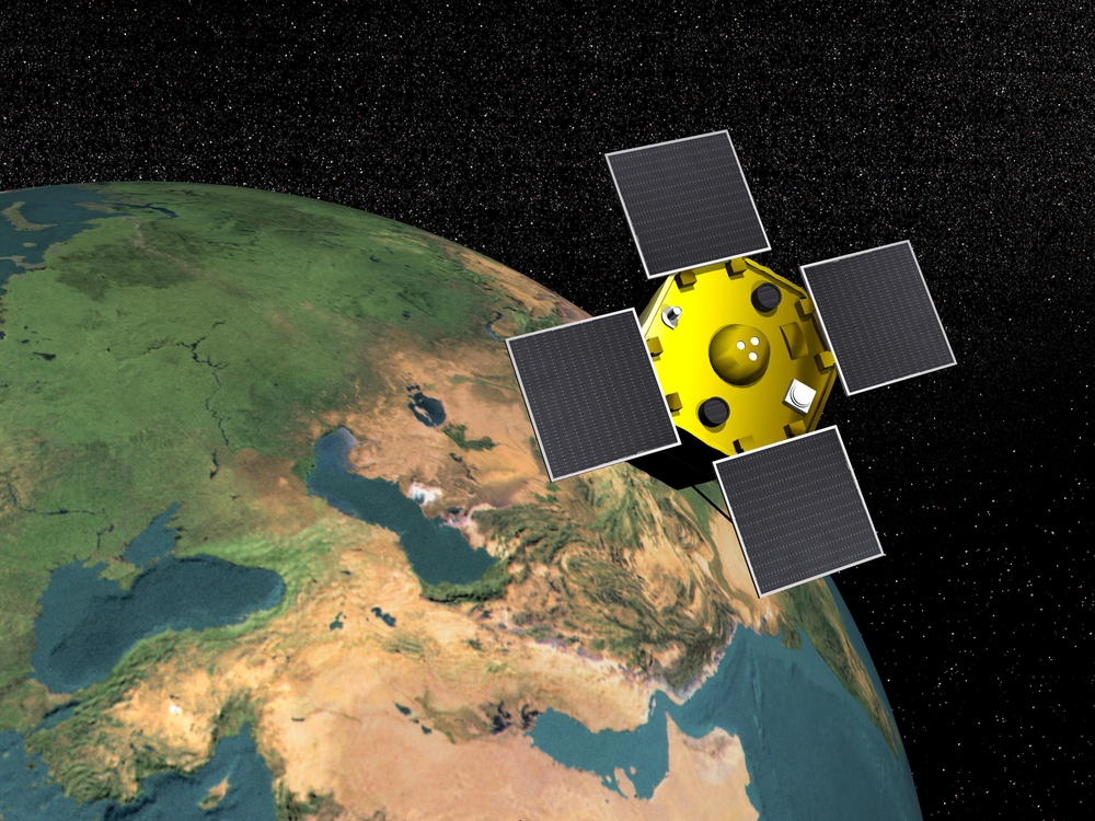
OpenET is especially helpful. It’s publicly available data that is provided by satellite-based information on evapotranspiration. It’s a partnership between NASA and the U.S. Geological Survey, who launched their latest satellite in the program in September 2021.
Evapotranspiration is the sum of all processes which move water from any land surface to the atmosphere through evaporation and transpiration. There are different types of evapotranspiration:
- Water evaporation from the soil surface to the atmosphere
- Different water bodies on the ground
- Any other object that may play a role in this process.
Transpiration is also part of evapotranspiration. It’s the process of water movement from the soil to the atmosphere using plants.
Why Satellite-based Tracking is Helpful in Water Management
Researchers rely on knowledge of the mechanics of evapotranspiration in different areas to better understand a region’s needs. OpenET is a useful tool because it allows us to monitor water use in an operational, field-scale setting. This means that researchers can use this tool to gather data about the evapotranspiration process in that area. Based on information gathered from OpenET, researchers can suggest different water management techniques.
In a recent study, scientists from the Desert Research Institute (DRI) led a comparative study. It looked at how OpenET data matched up to evapotranspiration data that was produced by 152 ground-based small-scale weather science stations. Subsequently, the findings were exciting. They found out that data provided by OpenET has a high accuracy rate. Specifically, it’s accurate when it comes to assessing evapotranspiration in an agricultural setting. This is even more true when assessing annual crops, such as wheat and corn. Additionally, the data given by OpenET was most reliable in arid regions like California and states in the Southwest. Consequently, OpenET is a revolutionary tool that can be used to address the water sustainability crisis in dry regions.
What Were the Study’s Findings?
In terms of annual crops, data from OpenET for monthly, growing season and annual evapotranspiration showed an average error rate of roughly 10-20%. This number is the targeted range that is set by OpenET and their partners, which include farmers and water management agencies. The average error rate was lower for Mediterranean climates, which averaged consistently below 10% during the peak of growing season. Hence, this shows how this tool can be useful to many. In terms of orchards, the data was more varied at 17%. However, researchers think this may be the result of shadows of taller vegetation impacting satellite data.
The data provided by OpenET can also be used to track evapotranspiration in natural ecosystems. The data had an error rate of less than 1mm per day at monthly to annual timesteps for most natural land cover types. Yet, the error rates for OpenET are higher for some natural land cover ecosystems. The error rates range from 35% for forests to 50% for shrublands. However, OpenET is still trusted as a useful indicator of water availability, water stress on plants, and even the impact of droughts.
Future Plans for Using OpenET
Researchers agree that evapotranspiration is one of the most difficult types of water movement to measure. Therefore, OpenET’s ability to have similar or better accuracy to ground-based weather stations for agricultural land is exciting news for the field. Moreover, researchers plan to continue using OpenET satellite data along with new Google Earth Engine cloud computing resources. As a result, this will allow scientists to study a number of different models and assess their strengths and weaknesses.
Plans for future research involve a focus on natural ecosystems. Furthermore, the plans will assess how current OpenET models compare under different agricultural demand management and conservation actions. Overall, this technology unlocks numerous possibilities for researchers.